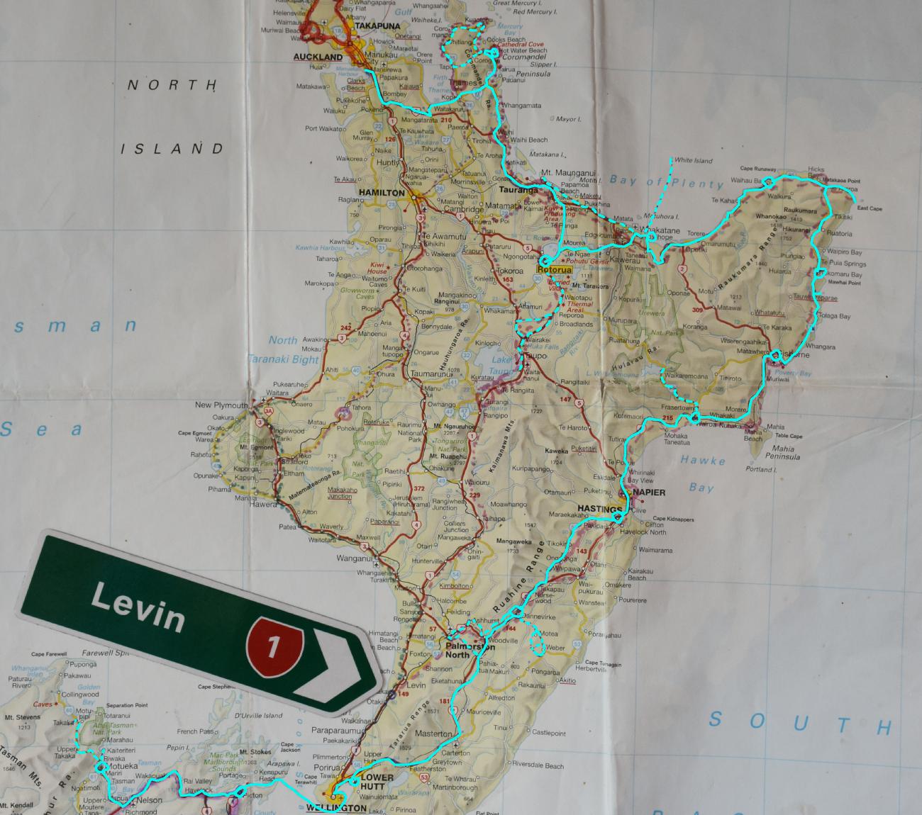
So this is our travel map which we did while travelling around the Northland, which is the topmost district on the North Island.
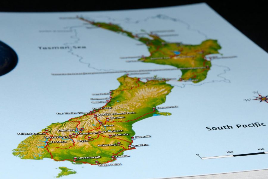
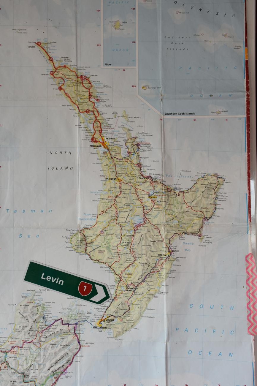
The leftmost picture shows the map of the whole North-Island
The picture to the right shows our travelroute with the car and a tent along the East coastline.
Altogether we travelled a distance of …. km.
You can find the other travelmaps of our journey here:
Kommentare sind geschlossen.